We have written in detail how to deal with groundwater. But it is better to find out all the features of your site from the very beginning in order to try to prevent the occurrence of this problem as much as possible. Let’s first figure out what groundwater is. They mean an underground aquifer that is not too deep.
There are three types of groundwater:
- Artesian waters. The lowest and cleanest layer, during construction, usually does not cause any trouble, since it is located at a great depth.
- Non-pressure water. Soil, located above artesian, on a watertight layer. May form in the case of surface water filtration, the level depends on precipitation. The depth of this layer does not change, since there is no pressure, hence the name.
- Verkhovodka. The depth of this layer is only a few meters; during drought and severe frosts in winter, it can disappear altogether. Basically, the upper water appears on loamy or clayey areas, and is usually absent on slopes..
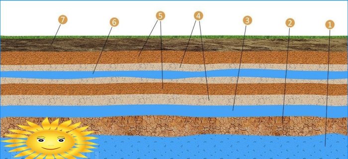 Location of aquifers: 1 – artesian aquifer; 2 – clay; 3 – interstratal waters; 4 – sand; 5 – loam; 6 – top water; 7 – topsoil
Important! The groundwater level should be measured in autumn or spring, immediately after melting snow and heavy rains. In winter, in frosts, the water level underground will be minimal and you will not get an accurate picture. As in summer, after prolonged heat and drought. As experienced builders say, it is better to prepare for the worst and measure the really highest groundwater level on your site during a period when there is a lot of precipitation.
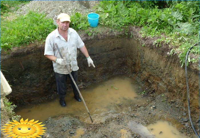
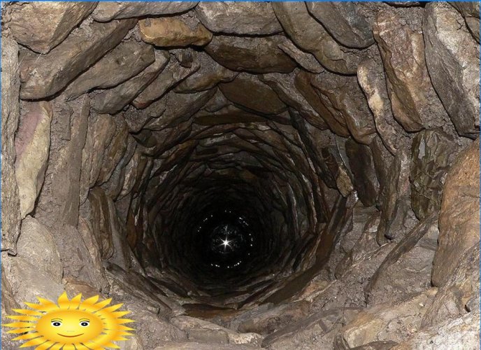
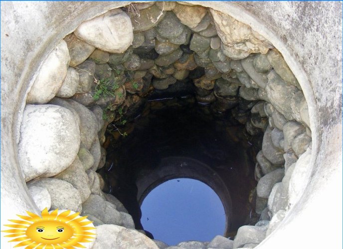
A simple, but at the same time quite reliable way to determine how deep the groundwater is, is to use a well. Take a look at these two images, and you will immediately understand where the groundwater has gone deep, and where it is closer to the surface. For accuracy, you can measure the depth to the surface of the water in the well using a coil of rope, a construction tape and a weight, it’s simple. It is best to inspect several nearby wells, walk around neighbors, study the water level for several days.
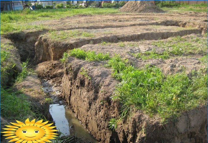
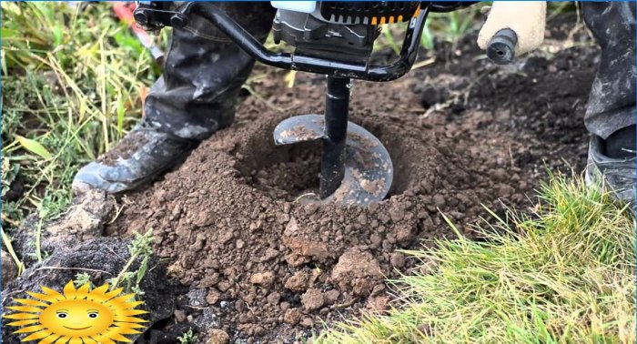
If there are simply no wells on your and neighboring sites, well, it is advisable to use a construction drill. Several wells should be drilled at once with a depth of at least two to three meters around the perimeter of the future construction site and vegetable garden. Pay special attention to low-lying areas, because it is there that the layer of groundwater usually rises highest.
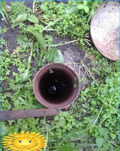
The wells will also have to be followed for several days to find out whether the waters have risen, how high, how their level changes. The wells remained empty – calm down, build calmly, most likely, groundwater will not interfere with you while living in a new house.
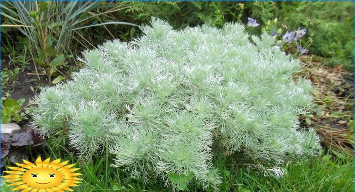
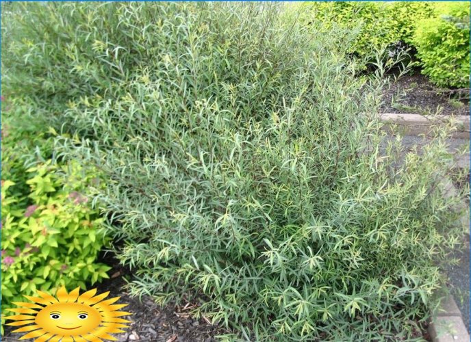
Experienced summer residents who are used to trusting folk, proven omens often do not need to look into a well or drill wells to find out how deep the groundwater is. Plants on the site can tell about this. If you have cattail growing, then the groundwater is no more than a meter, reeds – up to three meters, licorice – from one and a half to five meters, and if wormwood – from three to five meters.
Willows, currants, alder, meadowsweet grow well in wet areas. If several trees on the site have a slope to one side – this is also a sign of a high level of the aquifer, you need to pay attention to this.
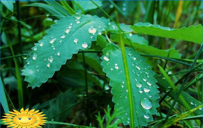
In areas with high groundwater, fogs are not uncommon in the evenings, even if there is no reservoir nearby. Frequent dew in the morning may also indicate close groundwater. In wet areas, there are also usually many small flies and mosquitoes, but there are no mouse holes and anthills..
There is also such an old, but according to users, a fairly reliable and time-tested method for determining the GWL. You need to take a very fresh egg, preferably just laid. Remove the top layer from the ground, put a piece of wool, on top of it an egg, and then cover everything with a clay pot. After that, they fall asleep with pre-harvested earth. The very next day, the pot is torn off and lifted. If the wool becomes wet and the egg is dry, the groundwater is deep. If everything is dry, there is no water at all. But if dew has formed on the egg, your underground waters are close to the surface..
Do not believe in folk methods and want to get the most accurate indicators for the level of groundwater and the condition of the site in general? Order geological surveys, contact the professionals.
“Could you please guide me on the most accurate and efficient methods to determine the groundwater level at a specific site? Are there any reliable tools or techniques that can be used, and what factors should be considered for accurate measurements?”
Is there a reliable method or tool that can be used to accurately determine the level of groundwater at a specific site? Is there any equipment or technology available that can assist in measuring the depth or quantity of groundwater? Is expertise required to interpret the data collected?
Are there any specific methods or tools that can be used to accurately determine the level of groundwater at a particular site?
I’m curious about the process of determining the groundwater level at a specific site. Can anyone explain the techniques or tools used for this? Is it possible to accurately measure the level without drilling?